


We had this done for Dads 70th birthday, the Hastings River in Port Macquarie. Dad is an avid fisherman and we thought it would be right up his alley. Turned out to be a great gift.
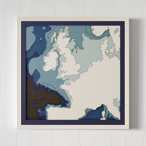
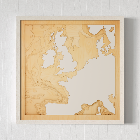
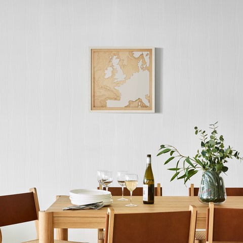
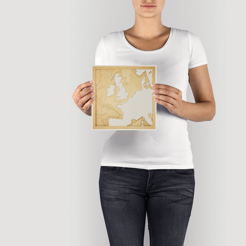
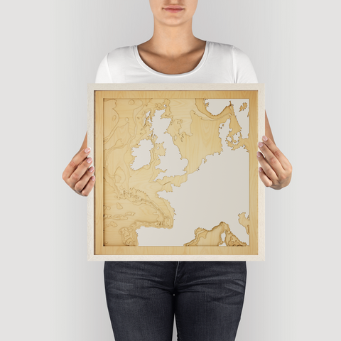
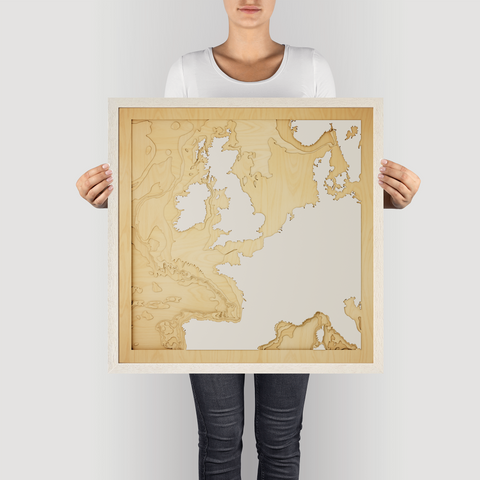
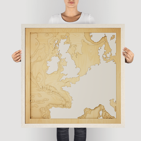


The waters separating the UK, France and Ireland are steeped in history, a crucial shipping lane and the site of countless naval battles. From the white cliffs of Dover to the rugged coast of Ireland, the region is a patchwork of cultures and landscapes.
The bathymetry of this area is complex, shaped by glacial activity and powerful currents. The English Channel is relatively shallow, while the waters around Ireland plunge to greater depths.
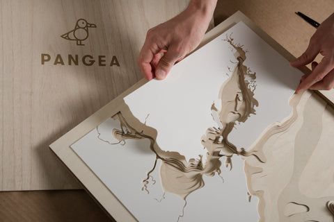
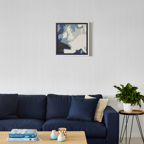
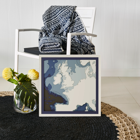
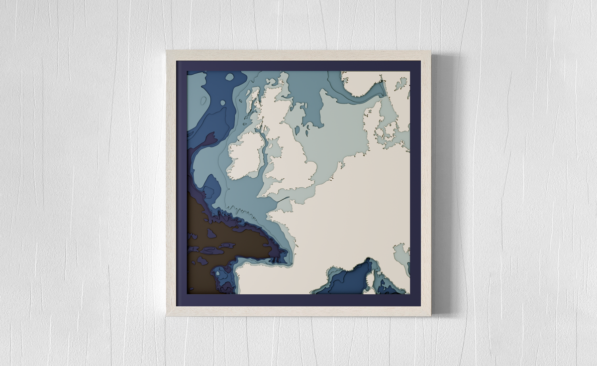
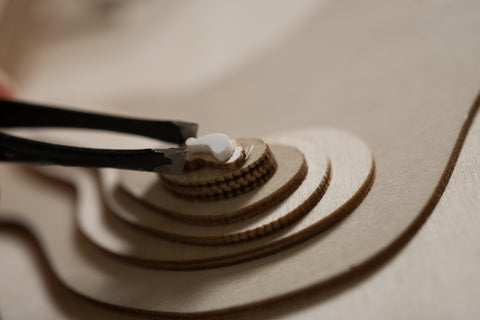
Our 3D wooden map captures the essence of this region. With 9 precision-cut layers of A/B grade birch, it reveals the hidden depths and intricate details of the underwater terrain.
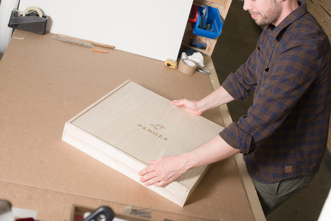
This map is a perfect gift for sailors, historians, or anyone who appreciates the rich history and natural beauty of this region. It's a reminder of the interconnectedness of Europe and the enduring power of the sea. It arrives in four sizes, framed and ready to inspire.
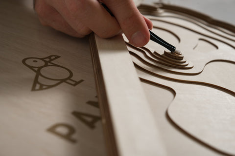
Quality and Craftsmanship
The Perfect Gift
Celebrate memories and shared experiences with a Pangea map. These pieces make the greatest gifts, framing your cherished moments with elegance and style.
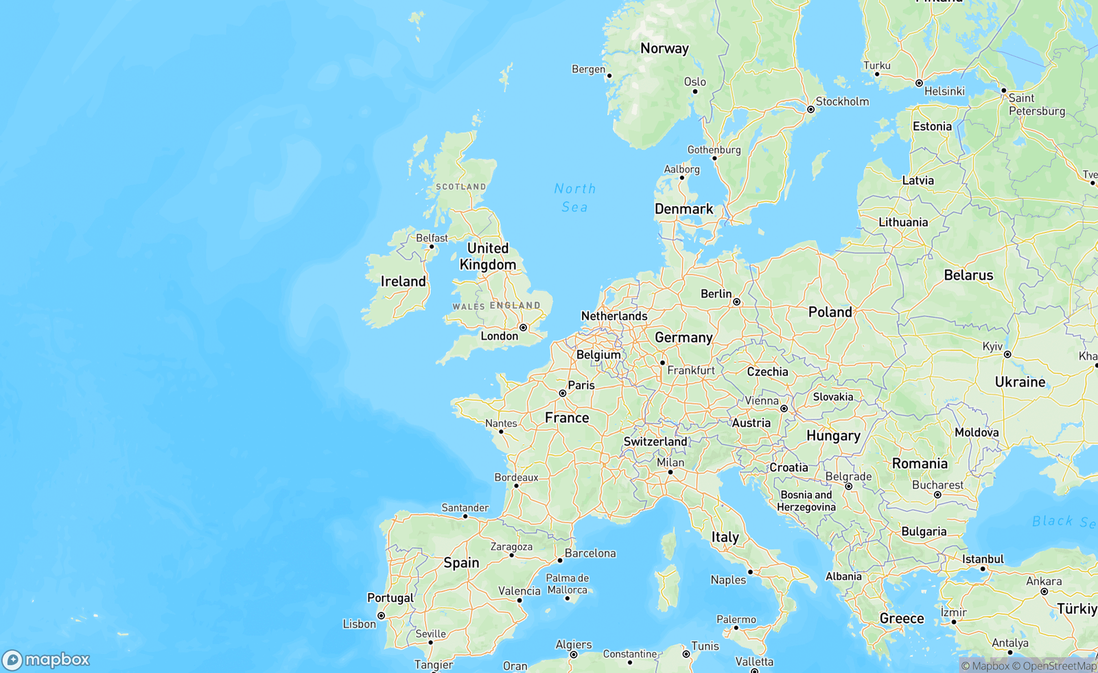
This map of Western Europe features Occitanie, Hauts-de-France, Italy, Germany, Denmark and London.

Overall rating: 4.9 / 5 from 904 reviews.
We had this done for Dads 70th birthday, the Hastings River in Port Macquarie. Dad is an avid fisherman and we thought it would be right up his alley. Turned out to be a great gift.

Love your maps! This is our second and we’ll most likely get another one 🙂

Hi Tom & Co, As expected, a beautiful piece of art. Thank you, keep up with the good work. All the best for the new year. Carlos Rueda

Great service and a wonderful product

Our third Pangea map. They never disappoint. A unique gift for the water lover, chart lover, maritime lover and each is personalised.

Bought for my brother for his birthday as his first piece of art after moving out of home. He loved it. The team worked extra hard to get it to me in time for the birthday 😊

I absolutely love my new art work… it is the first thing anyone sees when they come into my house

great! Perfect for a gift to someone

me ha gustado mucho el cuadro. la entrega y rapidez muy bien.

Absolutely stunning. Beautiful. Quick shipping and perfectly wrapped. Thank you!

I'm thrilled with my Mother's Day gift to myself—it’s a fantastic choice! The quality and design are exactly what I hoped for. While I wish it included the special mark, it’s still an amazing piece that I truly adore and will enjoy for years to come.

Fantastic. Really lovely piece of artwork.

Beautiful
The detail of the coastline is fantastic. It made a lovely gift.
Great gift idea ❤️
A great idea to produce a personalised relief map of my region. Beautifully made and packaged well for delivery meant it arrived in perfect condition.
Exceeded my expectations! Looks better in person than photos. You can really see the care and consideration put in by the team, it’s gorgeous!
Amazing work thank you!
Beautiful craftsmanship!
Absolutely blown away by this piece. The minimalist design is stunning and somehow manages to feel both modern and deeply personal at the same time. We had a tiny heart added at Villa del Balbianello in Tremezzina, where we got married and that subtle little detail honestly makes the whole artwork feel emotional without trying too hard. The framing and quality are excellent, and in person it has this calm, sophisticated presence that photos can’t really capture. It now sits in our home as a reminder of one of the best moments of our lives. Couldn’t be happier with it.
Excellent product, high quality and super helpful team! big thanks to Steph 5 stars
Just an extraordinary piece of art. One of a kind!
The service from Pangea Maps was prompt and efficient. This is the second Pangea Map we have ordered and we were not disappointed. Love the feature of being able to add a place of residence, or special place, with coordinates. Thank you - the perfect addition to any home.
I bought the map as a present for my husband, after seeing a similar one in Skinfluence Ormiston. One of our kids lives on Straddie, and we are in Cleveland so the map location is perfect. It is fantastic and he really loves it. I do wish that the 'plaque' on the lower left didn't have map under it so it was easier to read. It may be on your website, but I didn't see that you are located in Capalaba. If I had known that I would have driven over to pick it up.
Map looks great and in fact looks like a piece of artwork on our wall.
We love the map and it’s perfect as a house warming gift for close family members. We also had the location of their property pin pointed on the Fleurieu Peninsula. We can’t wait to give it to them and see it hung in their new home! Thank you Tom and Pangea!
It’s our third map and we just love them , they make the best gifts
As a gift for my parents, they loved it! The detail, design, colour … all of it! Thanks Tom and team for your unique work
It’s a beautiful piece. My parents were thrilled to open it.
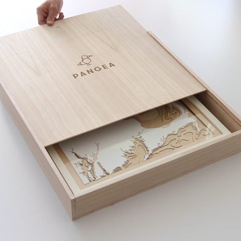
design and quality is great, our grandparents really appreciated recieving it for Christmas. The only issues was the lack of the wooden box shown on the product page (apparently we had to request this specifically +$24 however that was not made clear on the product page), and the “handwritten” gift message was a piece of printed text on paper taped to the back of the frame; I expected a small card with a handwritten note/higher quality packaging for the price.
I can't share photos yet as it's for Christmas Day. I had a sneak peek in the box and I really do love it. I hope he does too!
The map is beautifully detailed and very well made.
Thoughtful help in setting boundaries for our map to make sure our home is included
Thank you for the beautiful map. It’s a Christmas gift to my GIS husband mapping is his life and works for a company who’s slogan is “ The Science Of Where”. Perfect gift of his home province of Newfoundland.
As the third time I have purchased a Pangea map as a gift, I knew to expect exceptional quality and packaging. In this case, the recipient is someone on temporary assignment in Darwin, for whom this will be a lifelong reminder of his time in the Top End, travelling to the coast and rivers each weekend. A Pangea map is such beautiful, meaningful, and unique gift, that it reflects well on the giver, as a thoughtful friend and/or colleague.
Amazingly intricate and gorgeous piece of artwork.
Love the detail of Boston Harbor! Hope the recipient loves it as much for his birthday!
xx
So happy with this beautiful piece! We ordered this print of the Great Lakes for my father's 80th birthday to commemorate the fact that he sailed all five single-handed. He was so touched by the artistry and 3D presentation. I will be ordering the same for a friend's cottage. The shipping and delivery was swift and seamless! great customer services all around.
The map was a 60th bday present for my sister in law and she loves it! It hangs in her foyer so she sees it everyday! Such a terrific gift!