Overview
The Tahoe depth map is pivotal for both recreational activities and scientific research in Lake Tahoe. This invaluable resource not only facilitates safe navigation for boaters but also enhances fishing success by revealing underwater structures. Furthermore, it provides essential data for environmental studies and the management of aquatic ecosystems, showcasing its multifaceted utility. The depth map stands as a testament to the intricate craftsmanship involved in its creation, designed to meet the needs of various stakeholders. For those interested in leveraging this critical tool, inquiries are encouraged to explore its full potential.
Introduction
Lake Tahoe, celebrated for its stunning clarity and remarkable depth, stands as a testament to natural beauty and ecological significance. As the second-deepest lake in the United States, its depth map not only serves as a visual representation of underwater landscapes but also acts as a crucial tool for recreational enthusiasts and researchers alike.
With escalating environmental challenges threatening its pristine waters, the pressing question emerges: how can a deeper understanding of the Tahoe depth map enhance both enjoyment and conservation efforts in this cherished destination?
Explore Lake Tahoe: Geography and Unique Features
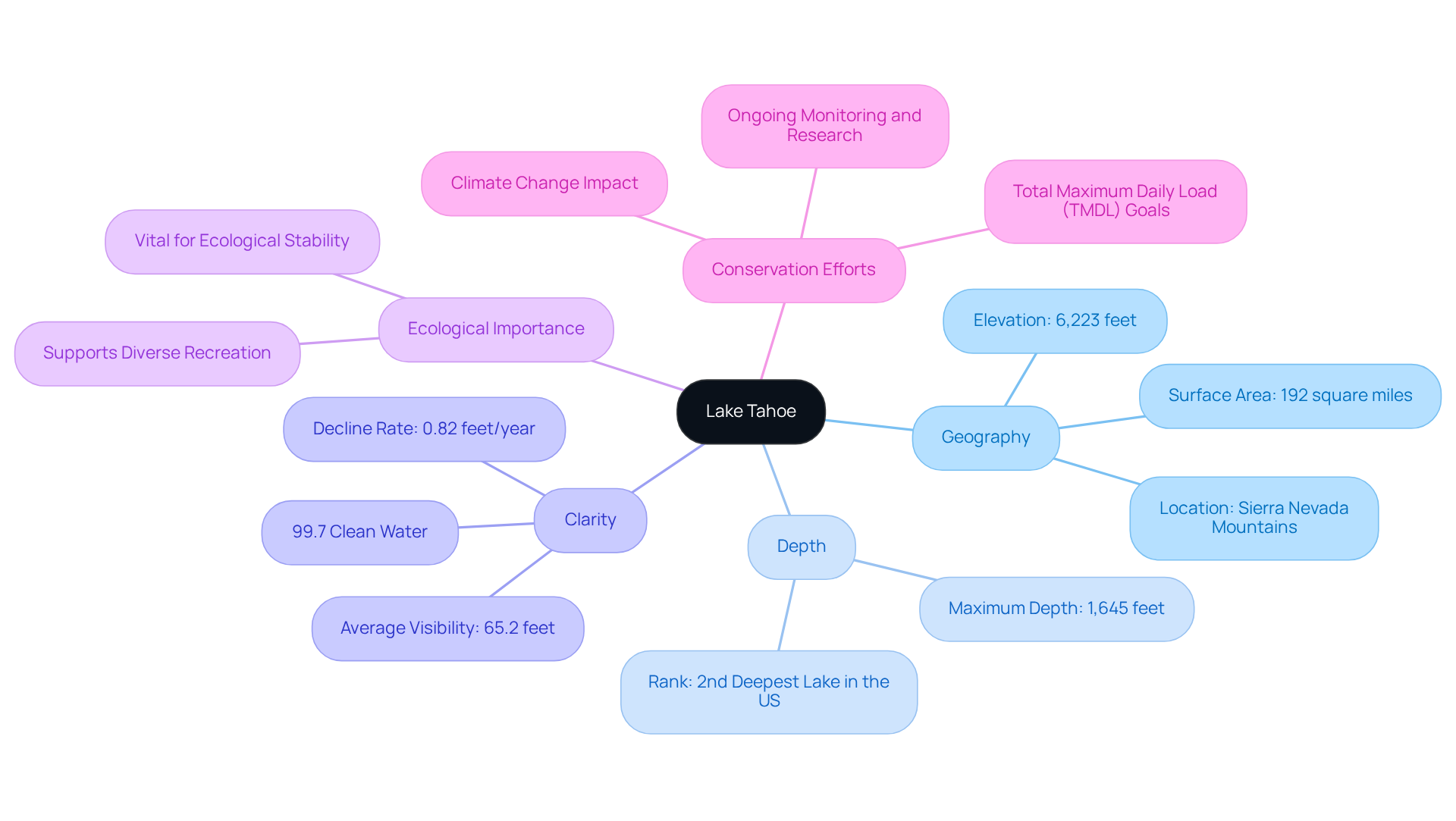
Lake Tahoe, located in the Sierra Nevada mountains, stands out for its exceptional clarity and vastness. Covering approximately 192 square miles, the tahoe depth map indicates that it ranks as the second-deepest lake in the United States, reaching a maximum depth of 1,645 feet. This impressive depth contributes to its unique geological features, which have developed over the past two million years, resulting in the lake's striking blue waters and breathtaking mountainous backdrop.
Equally remarkable is Lake Tahoe's clarity, with average deep-water visibility recorded at 65.2 feet from 2016 to 2020. Unfortunately, this clarity is declining at a rate of 0.82 feet per year, primarily due to urban stormwater runoff, which contributes to 72% of the fine sediment particles impacting water quality. Nevertheless, the lake's waters remain 99.7% clean, allowing visibility to extend to a white dinner plate at distances of up to 120 feet.
These characteristics not only enhance the lake's visual appeal but also play a crucial role in its ecological stability, making it a favored destination for a variety of recreational activities, including boating, hiking, and skiing. The importance of preserving Tahoe's clarity and understanding the tahoe depth map cannot be overstated, as they are vital for sustaining its recreational value and ecological health. Recent studies reveal a concerning warming trend in the lake, occurring at a rate 15 times faster than the long-term average, highlighting the urgent need for ongoing conservation efforts.
For those eager to capture the essence of Tahoe, Pangea Maps offers customized 3D representations that tell your story. Each map is handcrafted with care over bathymetry charts, showcasing the lake's distinctive features in an artistic and meaningful manner. These custom designs take about an hour to create and are hand-glued and framed locally, ensuring a high-quality product. Such artisanal handcrafted charts make for exceptional gifts that celebrate the beauty and richness of Lake Tahoe, serving as lasting reminders of its ecological significance and recreational allure.

Understanding the Depth Map: Creation and Measurement Principles
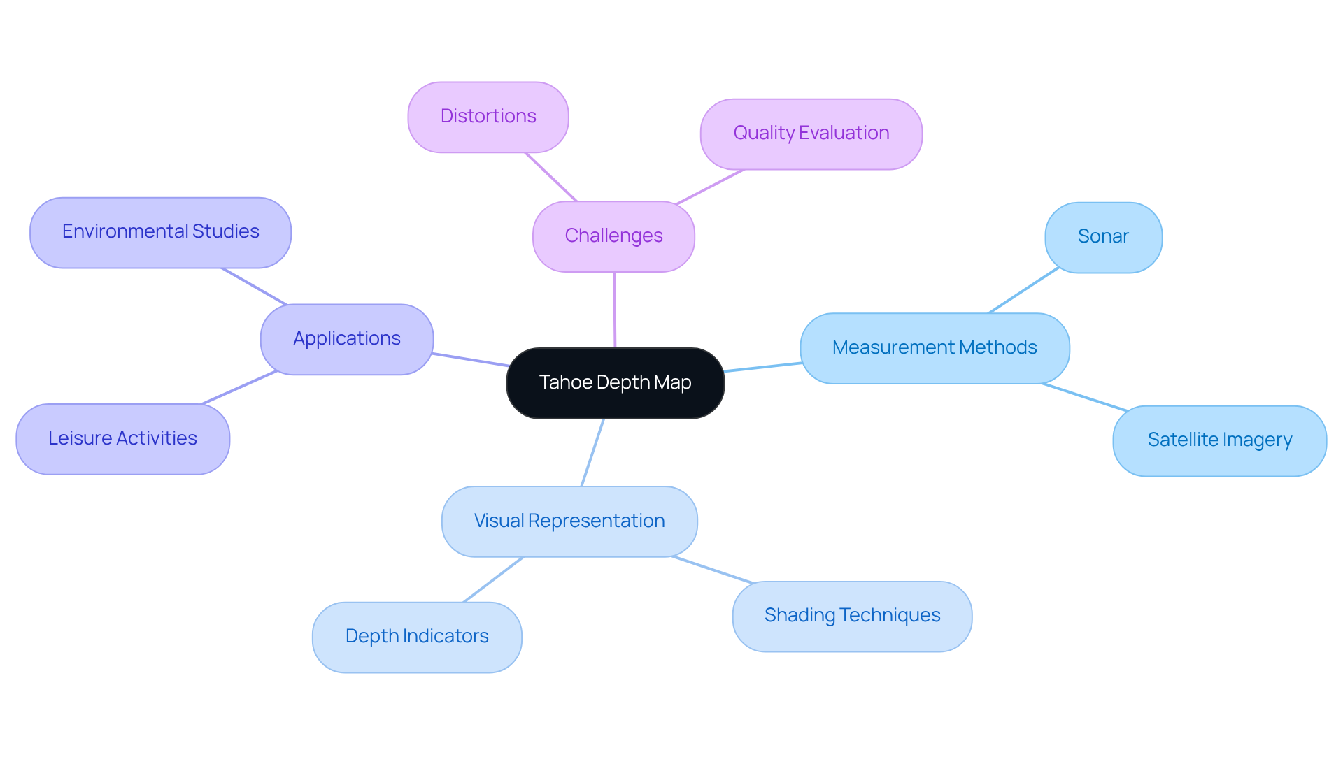
Sophisticated methods such as sonar and satellite imagery are used to produce depth representations, including a tahoe depth map, which precisely gauge the distance from the water's surface to the lakebed. These measurements are visually illustrated in a two-dimensional format on the tahoe depth map, where varying shades indicate different levels; darker shades typically signify deeper areas, while lighter shades denote shallower regions. Understanding these concepts is crucial for accurately analyzing the tahoe depth map, as it enables users to identify important characteristics such as underwater formations, drop-offs, and potential leisure areas.
The reliability of the tahoe depth map is enhanced through long-term monitoring and extensive data gathering, offering users dependable information for both leisure and research purposes. Recent advancements in sonar technology have further improved measurement precision, making it an essential tool for creating a Tahoe depth map as well as for environmental studies and recreational planning in regions like Lake Tahoe. However, challenges persist, as six distinct forms of distortions can influence the quality of texture and dimensional images, emphasizing the necessity for robust quality evaluation techniques.
As Linda Lappin notes, 'The deep map configures narratives,' underscoring the storytelling aspect of these visual representations. Moreover, a thorough survey on current methods for DIBR-synthesized views highlights the advancing techniques in distance mapping. Case studies, such as the effect of texture and depth images on view synthesis, demonstrate the significance of quality in producing reliable depth representations, which are vital for both leisure activities and scientific investigation.

Applying the Depth Map: Practical Uses for Recreation and Research
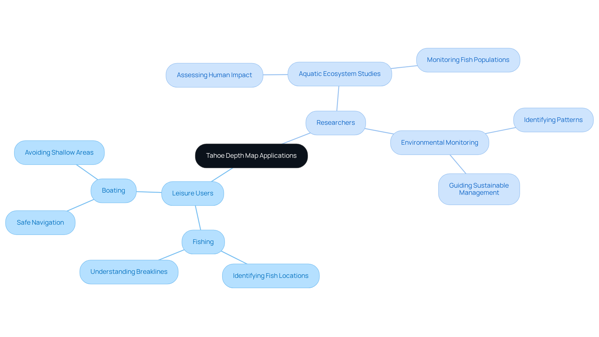
The tahoe depth map serves as an essential instrument for both leisure users and researchers, fulfilling a variety of practical functions. In leisure pursuits such as fishing and boating, these charts are indispensable for identifying prime locations. Fishermen utilize underwater charts to discover submerged formations that attract fish, significantly increasing their chances of a successful catch. Expert insights reveal that stable weather conditions stimulate feeding activity, prompting the most aggressive fish to ascend onto these structures. Simultaneously, boaters rely on these charts for safe navigation, steering clear of shallow areas that could endanger their vessels. Statistics show that incidents related to shallow waters are a leading cause of boating accidents, underscoring the importance of underwater charts in enhancing safety on the water.
From a research perspective, spatial representations provide crucial information for studying aquatic ecosystems and monitoring environmental changes. They enable researchers to assess the impact of human activities on the health of water bodies, such as Lake Tahoe. Case studies illustrate that spatial representations can identify patterns in fish populations and habitat utilization, guiding sustainable management strategies. For example, the case study titled "Understanding Breaklines in Water Mapping" emphasizes the importance of breaklines in fishing tactics, demonstrating how depth maps can inform anglers about productive fishing locations. By leveraging this valuable information, both recreational users and researchers can make informed decisions that not only enrich their experiences but also contribute to the preservation of Lake Tahoe's natural resources.

Conclusion
Mastering the Tahoe depth map is essential for both enjoying the lake's recreational offerings and fostering its conservation. Understanding the intricate details of Lake Tahoe's depth not only enhances the experience for outdoor enthusiasts but also provides invaluable insights for researchers dedicated to preserving this unique ecosystem.
This extraordinary depth and clarity of the lake underscore the significance of the Tahoe depth map in identifying underwater features and promoting safe recreational activities. Advanced technologies play a pivotal role in creating these maps, which have critical applications in leisure pursuits, such as fishing and boating, as well as in scientific research aimed at monitoring environmental health. The urgent need for conservation efforts, driven by declining water clarity and warming trends, highlights the importance of utilizing these depth maps effectively.
Reflecting on the broader implications, it becomes clear that the Tahoe depth map is more than just a tool; it serves as a bridge connecting recreation with responsible stewardship of natural resources. By leveraging this knowledge, individuals can enhance their enjoyment of Lake Tahoe while contributing to its ongoing preservation. Engaging with the depth map not only enriches personal experiences but also empowers collective efforts to safeguard the lake for future generations.
Frequently Asked Questions
Where is Lake Tahoe located?
Lake Tahoe is located in the Sierra Nevada mountains.
What is the size and depth of Lake Tahoe?
Lake Tahoe covers approximately 192 square miles and is the second-deepest lake in the United States, with a maximum depth of 1,645 feet.
What contributes to the unique features of Lake Tahoe?
The unique geological features of Lake Tahoe have developed over the past two million years, resulting in its striking blue waters and breathtaking mountainous backdrop.
How clear is the water in Lake Tahoe?
The average deep-water visibility in Lake Tahoe is recorded at 65.2 feet, although it is declining at a rate of 0.82 feet per year.
What are the main causes of declining water clarity in Lake Tahoe?
The decline in water clarity is primarily due to urban stormwater runoff, which contributes to 72% of the fine sediment particles impacting water quality.
What is the current water quality status of Lake Tahoe?
The waters of Lake Tahoe remain 99.7% clean, allowing visibility to extend to a white dinner plate at distances of up to 120 feet.
Why is preserving Lake Tahoe's clarity important?
Preserving the lake's clarity is crucial for sustaining its recreational value and ecological health.
What recent environmental trend has been observed in Lake Tahoe?
Recent studies reveal a concerning warming trend in Lake Tahoe, occurring at a rate 15 times faster than the long-term average.
What recreational activities can be enjoyed at Lake Tahoe?
Lake Tahoe is a favored destination for a variety of recreational activities, including boating, hiking, and skiing.
What unique products does Pangea Maps offer related to Lake Tahoe?
Pangea Maps offers customized 3D representations of Lake Tahoe, handcrafted over bathymetry charts to showcase the lake's distinctive features. These maps are made locally and serve as exceptional gifts.


