Overview
The article titled "10 Essential Boating Maps for Safe Navigation and Planning" underscores the critical role of various boating maps and nautical charts in ensuring safe navigation on water. It articulates essential skills necessary for interpreting these maps, including:
- Understanding symbols
- Measuring distances
- Utilizing digital navigation tools
Mastery of these skills is vital for effective route planning and hazard avoidance while boating, ultimately fostering a safer and more enjoyable experience on the water.
Introduction
Navigating the open waters requires more than just a sturdy vessel; it demands a comprehensive understanding of boating maps—lifelines for safety and planning. With a myriad of tools available, from traditional nautical charts to innovative digital navigation systems, boaters now have unprecedented access to information that can enhance their journeys. However, the challenge lies in mastering these resources.
How can one ensure they are interpreting these maps correctly to avoid hazards and optimize their routes? This article delves into ten essential boating maps, equipping readers with the knowledge to navigate confidently and securely on their aquatic adventures.
Pangea Maps: Personalized 3D Maps for Navigators
Pangea Maps stands at the forefront of handcrafted 3D map creation, offering personalized artworks tailored for explorers. With an impressive collection of over 1,000 meticulously curated designs from around the globe, these maps encapsulate significant locations and memories, transforming geographical representations into treasured keepsakes.
The customizable designs empower users to commemorate their favorite places in a distinctive manner, making them perfect for personal enjoyment or as exceptional corporate gifts. Each map is handcrafted with care, utilizing environmentally sourced materials to ensure both quality and sustainability.
This commitment resonates with contemporary explorers who appreciate artistry and craftsmanship in their tools, while simultaneously providing an outstanding gifting experience for corporate clients.
Explore the world of Pangea Maps today and discover how our unique creations can tell your story.
How to Read Nautical Charts: Essential Skills for Safe Navigation
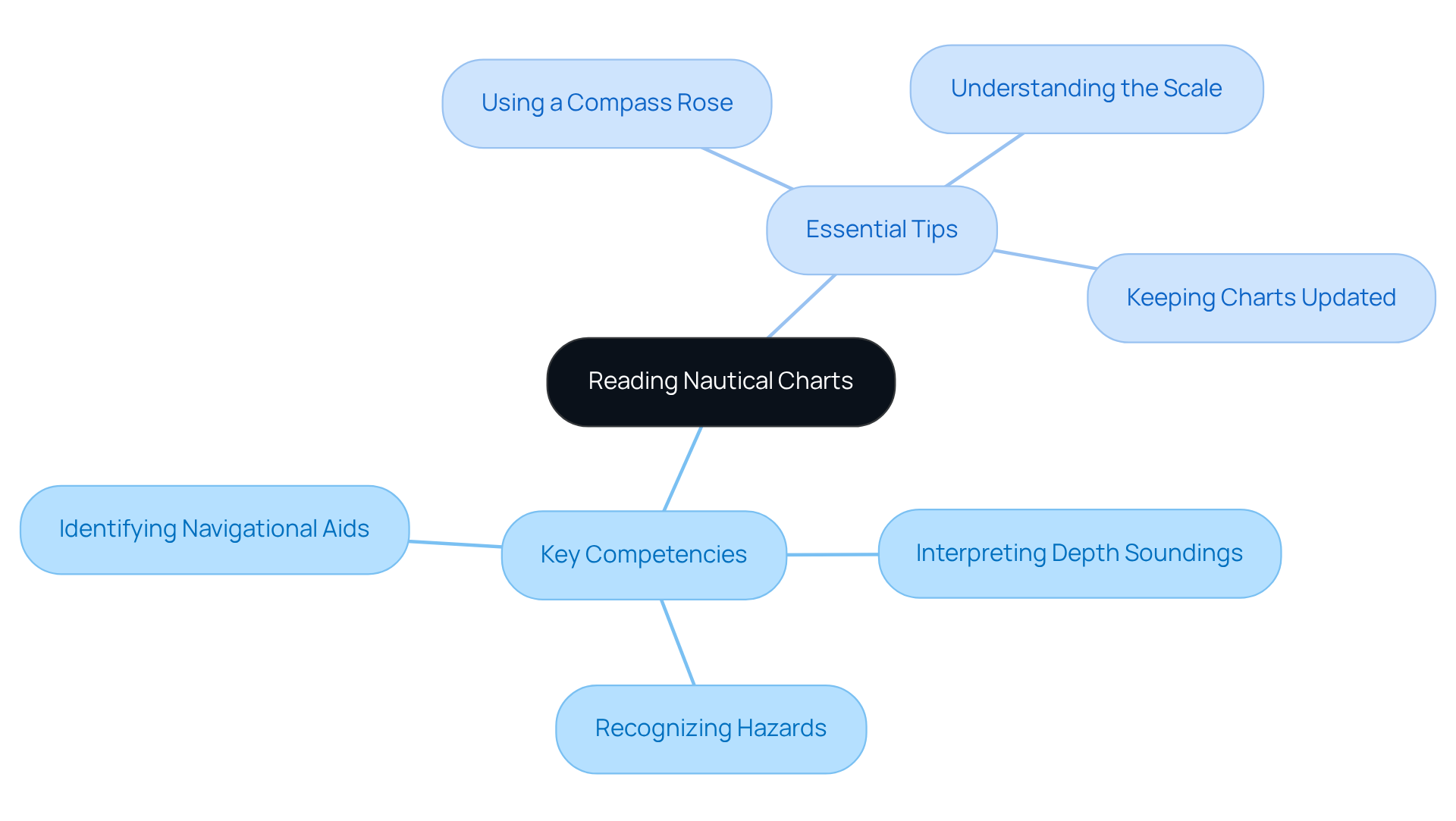
Interpreting boating maps is not merely a skill; it is an essential competency for secure travel on the water. This expertise requires a thorough understanding of various components, including symbols, scales, and depth markers. Key competencies encompass:
- Identifying navigational aids
- Recognizing hazards
- Accurately interpreting depth soundings
A skilled navigator, for example, can effectively plot a safe course by grasping the significance of depth soundings and the location of underwater obstructions. Historically, the British Admiralty distinguished itself as a leading creator of maritime maps during the 18th and 19th centuries, showcasing the evolution of sailing instruments.
Essential tips for chart reading include:
- Utilizing a compass rose for direction
- Comprehending the scale for precise distance measurement
- Ensuring that charts are regularly updated to reflect current conditions
As John Jamieson emphasizes, mastering these essential skills for safe navigation is crucial for anyone in the field. Furthermore, understanding the distinctions between Electronic Navigational Charts (ENCs), Paper Nautical Charts, and boating maps can significantly enhance a seafarer's toolkit.
Mastering these skills is vital for any navigator aiming to elevate safety and efficiency on the water. They directly contribute to informed decision-making and risk assessment during boating activities, reinforcing the importance of being well-versed in maritime navigation.
Nautical Chart Symbols: The Ultimate Guide for Boaters
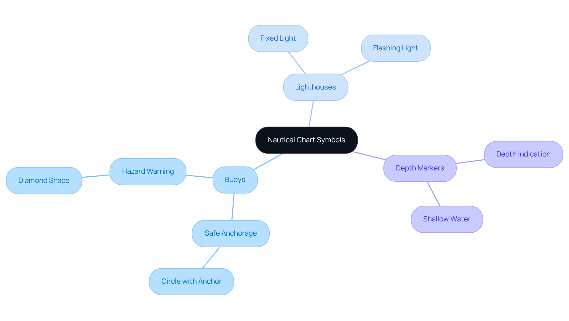
Nautical charts are essential tools that utilize a standardized collection of icons to convey critical information about navigational aids, hazards, and underwater features. These charts feature common signs such as:
- Buoys
- Lighthouses
- Depth markers
Each designed with precision to ensure clarity and safety. For example, a circle with an anchor signifies a safe anchorage, while a diamond shape warns of potential hazards. Familiarizing oneself with these signs is not merely beneficial; it is crucial for efficient navigation. They serve as swift visual indicators that can significantly influence safety on the water. To enhance your understanding, resources like NOAA's Chart No. 1 provide detailed explanations of these symbols, acting as an invaluable reference for all boaters seeking to navigate with confidence.
Understanding Depths on Nautical Charts: Key for Safe Boating
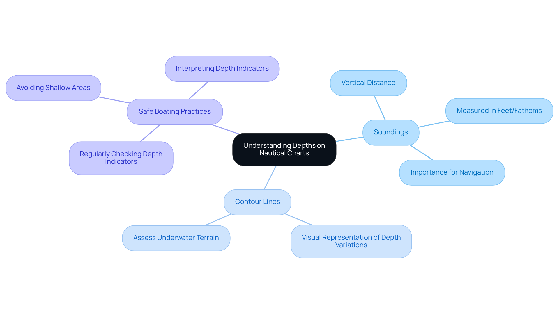
Boating maps are unique in their ability to convey critical information about underwater landscapes. Depths are represented through soundings, which indicate the vertical distance from the water's surface to the seabed. Typically measured in feet or fathoms, these soundings are essential for determining safe navigation routes.
By mastering the art of reading these depths with the help of boating maps, boaters can effectively avoid shallow areas and potential hazards. Furthermore, contour lines on maps provide a visual representation of depth variations, enabling sailors to assess the underwater terrain with precision.
Regularly checking and interpreting these depth indicators is essential for ensuring safe boating practices, particularly when using boating maps.
Contour Lines on Nautical Charts: Interpreting Underwater Terrain
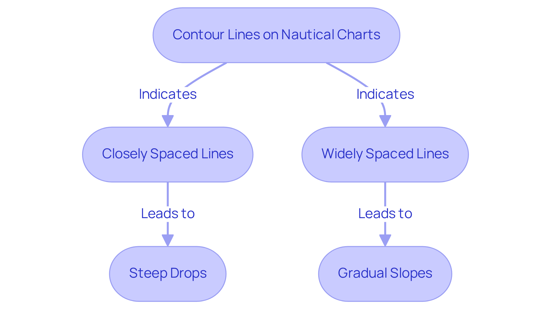
Contour lines on nautical charts connect points of equal depth, illustrating the unique shape and features of the underwater terrain. These lines are essential for navigators, as they visualize the seabed's topography, indicating areas of shallower and deeper water. Understanding how to interpret these lines is crucial for avoiding underwater hazards and planning safe routes.
For instance, closely spaced contour lines signal steep drops, while widely spaced lines suggest gradual slopes. By mastering the interpretation of contour lines, boaters can significantly enhance their navigational skills and ensure safer journeys ahead.
Aids to Navigation: Essential Tools for Every Navigator
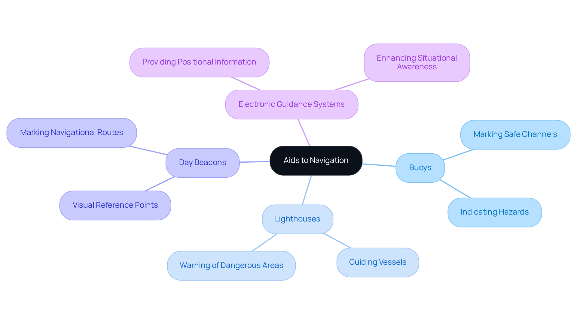
Assistance for boaters encompasses a range of tools and devices, including boating maps, meticulously designed to ensure safe navigation across waterways. These essential aids include:
- buoys
- lighthouses
- day beacons
- electronic guidance systems
Each serving a distinct purpose—marking safe channels, indicating hazards, or providing critical positional information. It is imperative to familiarize oneself with these boating maps, as they are vital for effective navigation, providing essential guidance and enhancing situational awareness on the water. Regularly updating one’s knowledge about these aids is crucial, ensuring that travelers remain informed and safe throughout their journeys.
Measuring Distances on Nautical Charts: Planning Your Route
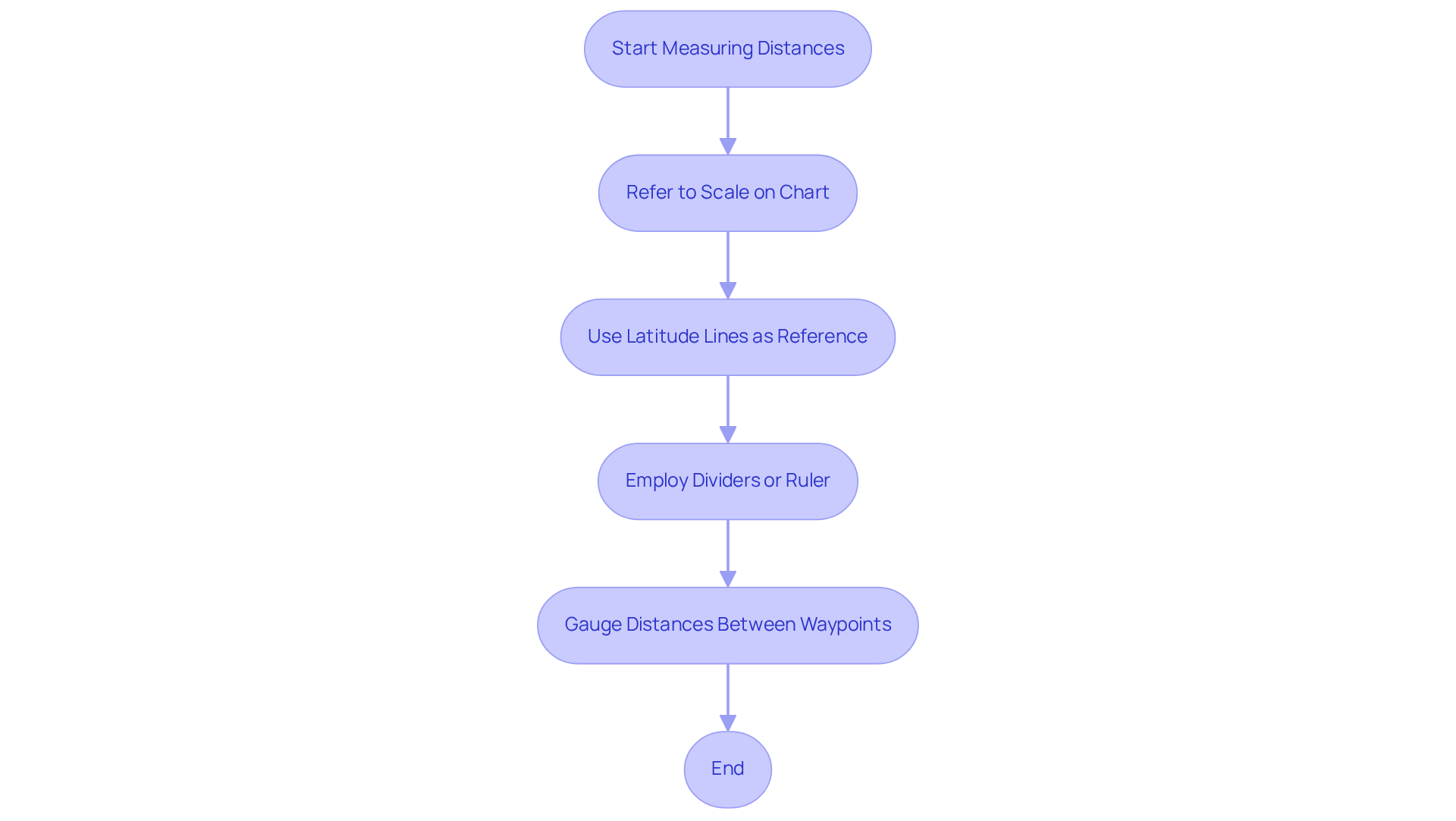
Measuring distances on boating maps is crucial for effective route planning. These maps typically feature a scale that allows users to convert measurements into actual distances. Notably, one nautical mile corresponds to one minute of latitude, establishing latitude lines as a dependable reference for distance measurement. Furthermore, employing dividers or a ruler enables boaters to accurately gauge distances between waypoints. By mastering these distance measurement techniques, boaters can utilize boating maps to enhance their route planning, ensuring timely arrivals and safe navigation.
Nautical Chart Symbol Differences: What Every Navigator Should Know
Nautical representations, particularly boating maps, exhibit significant variations across different mapping systems and regions, underscoring the necessity for navigators to grasp these distinctions. For instance, the signs employed in U.S. charts may differ markedly from those found in European charts. Familiarity with boating maps and regional navigation indicators is vital for ensuring precise navigation, as misinterpretation can lead to perilous situations. Resources such as NOAA's Chart No. 1 provide comprehensive guides for understanding these indicators, empowering navigators to interpret maps confidently, irrespective of their origin.
Safety Symbols on Nautical Charts: Navigating with Caution
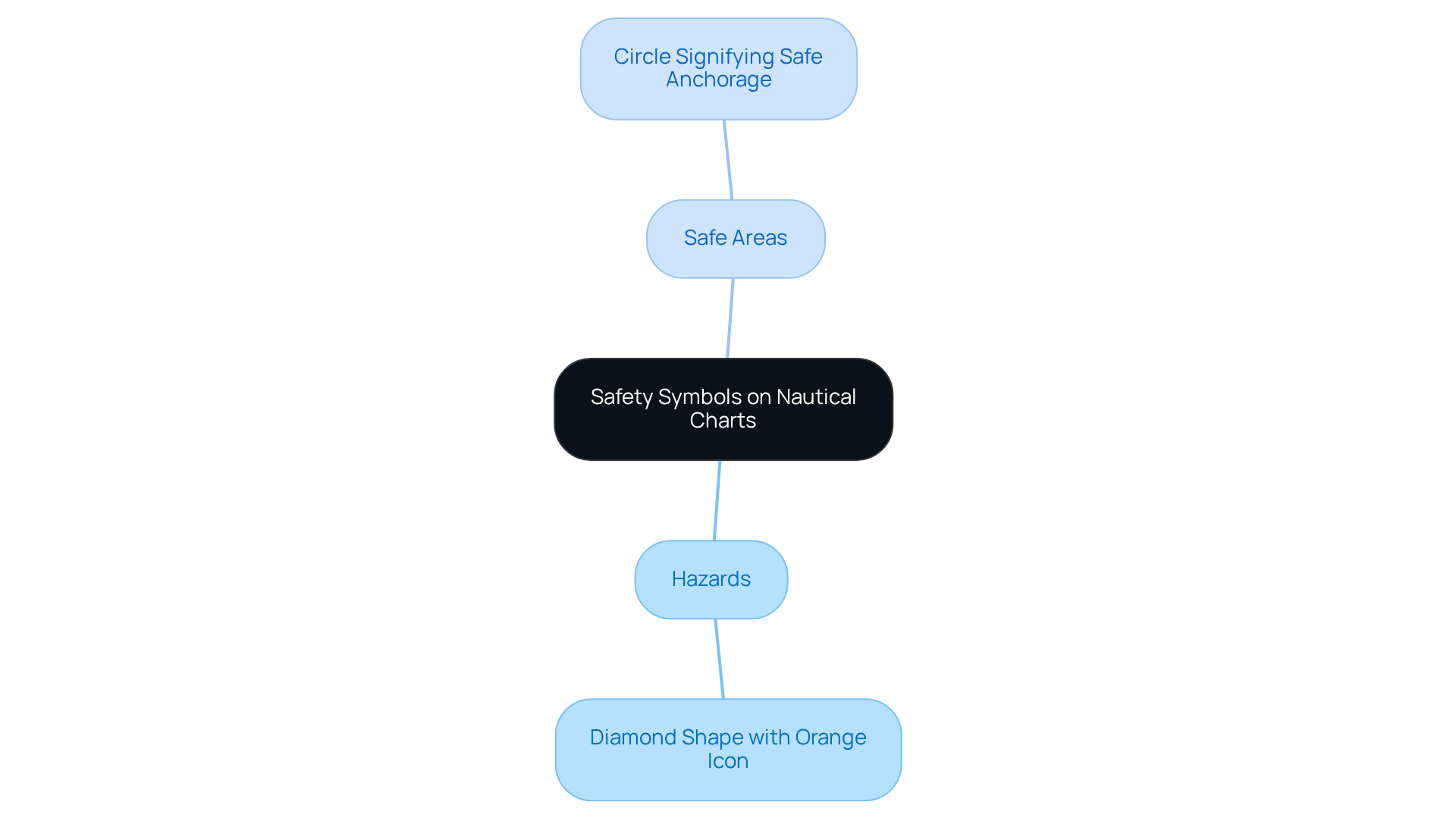
Safety signs on nautical charts signify potential hazards and areas that require caution. These signs are widespread, covering underwater obstacles, restricted zones, and navigational dangers. For example:
- A diamond shape with an orange icon may indicate a hazard.
- A circle signifies a safe anchorage.
Understanding these safety signs is crucial for safe navigation, as they provide vital information that can prevent accidents and ensure a smooth experience when using boating maps. Regularly reviewing safety symbols and their meanings is not just advisable; it is a best practice for all navigators.
Digital Navigation: Bringing Your Nautical Charts into the Digital Age
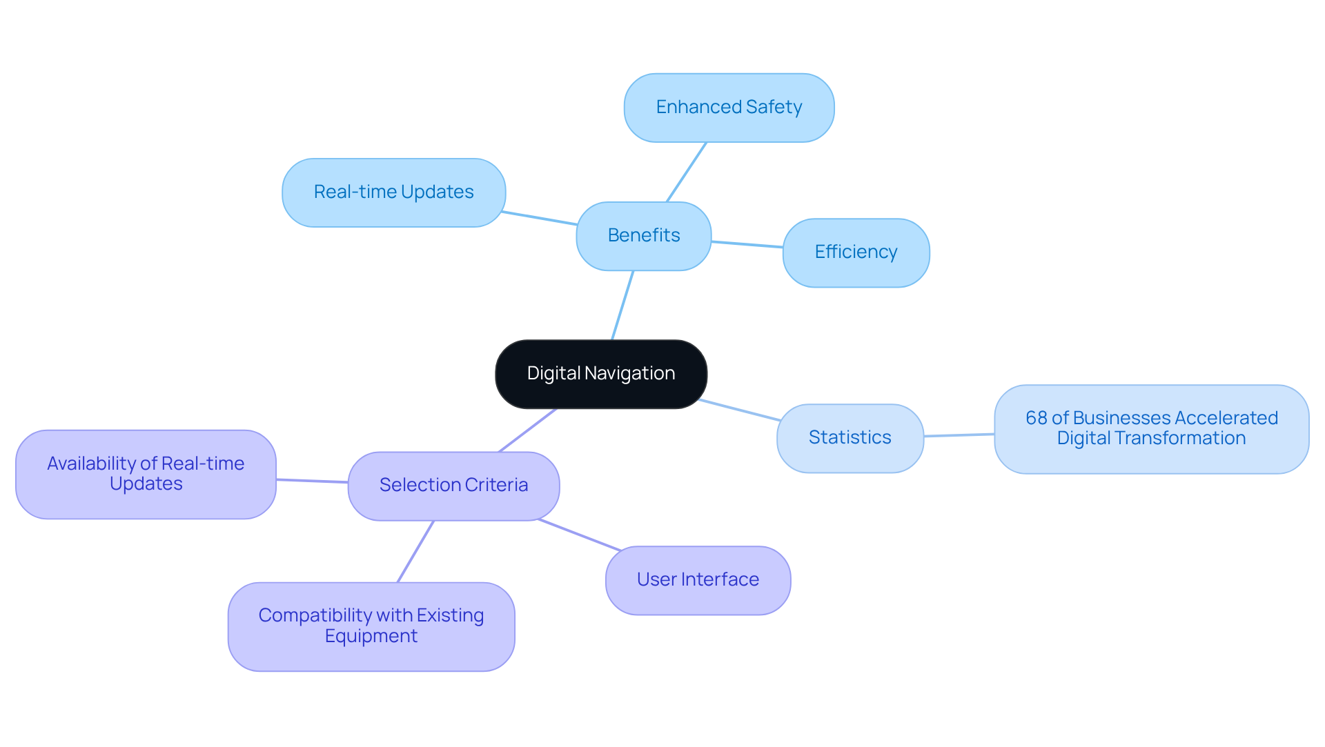
Digital navigation has revolutionized the way boaters access and utilize boating maps. Contemporary applications and electronic systems for boating maps provide real-time updates, interactive features, and enhanced usability compared to traditional paper maps. Tools such as GPS, AIS, and electronic navigational charts (ENCs) enable precise positioning and route planning by utilizing boating maps. Embracing digital navigation not only boosts efficiency but also significantly enhances safety by delivering up-to-date information on weather, tides, navigational hazards, and essential boating maps.
Notably, 68 percent of businesses report that the pandemic has accelerated their digital transformation, highlighting the urgent need for boaters to adopt these essential tools. As Mark Zuckerberg aptly stated, "The greatest danger is failing to take risks in a rapidly changing world," underscoring the importance of adapting to digital navigation in the boating sector.
Real-world examples abound, with boaters leveraging apps like Navionics and utilizing boating maps for route planning and safety alerts, showcasing the tangible benefits of these technologies. As technological advancements continue, it is crucial for all boaters to stay informed about the latest digital navigation tools, such as boating maps.
When selecting the right digital navigation tool, consider factors such as:
- User interface
- Compatibility with existing equipment
- Availability of real-time updates
Conclusion
Navigating the waters safely and effectively is fundamentally rooted in understanding and utilizing essential boating maps. These tools not only enhance the boating experience but also play a crucial role in ensuring the safety and efficiency of maritime travel. By mastering the skills associated with reading nautical charts, recognizing symbols, and interpreting depths, boaters can secure a more assured journey on the water.
The article underscores various aspects of nautical navigation, highlighting the significance of:
- Depth soundings
- Contour lines
- Familiarizing oneself with navigation aids
- Safety symbols
It stresses that digital navigation tools have revolutionized how boaters access and interact with these maps, offering real-time updates and bolstering situational awareness. Each component discussed reinforces the notion that informed navigation is vital for both novice and experienced boaters alike.
Ultimately, embracing the knowledge and tools available for safe navigation is imperative for all who venture onto the water. Whether through traditional nautical charts or modern digital applications, prioritizing safety and competence in navigation practices can lead to richer, more enjoyable boating experiences. As the landscape of boating continues to evolve, staying informed and adaptable is essential to navigating the waters with confidence and skill.
Frequently Asked Questions
What are Pangea Maps?
Pangea Maps offers handcrafted 3D maps that are personalized artworks tailored for explorers, featuring over 1,000 curated designs from around the globe.
How can Pangea Maps be customized?
Users can customize the designs to commemorate their favorite places, making them suitable for personal enjoyment or as unique corporate gifts.
What materials are used in Pangea Maps?
Each map is handcrafted using environmentally sourced materials to ensure quality and sustainability.
What skills are essential for reading nautical charts?
Essential skills include identifying navigational aids, recognizing hazards, and accurately interpreting depth soundings.
Why is understanding nautical charts important for navigation?
Mastering nautical charts is crucial for safe travel on the water, enabling navigators to plot safe courses and make informed decisions.
What are some tips for reading nautical charts?
Tips include utilizing a compass rose for direction, comprehending the scale for precise distance measurement, and ensuring charts are regularly updated.
What symbols are commonly found on nautical charts?
Common symbols include buoys, lighthouses, and depth markers, each designed to convey critical information about navigational aids and hazards.
Where can one find resources to understand nautical chart symbols?
Resources like NOAA's Chart No. 1 provide detailed explanations of nautical chart symbols, serving as a valuable reference for boaters.


