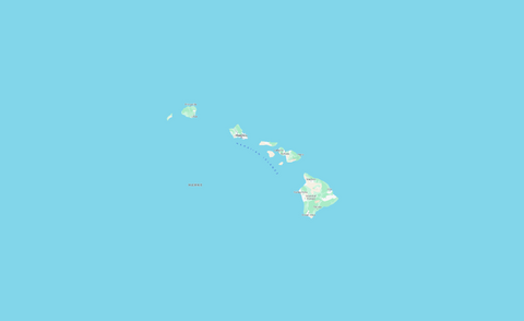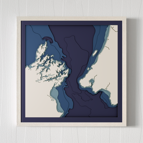
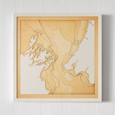


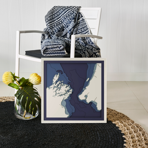
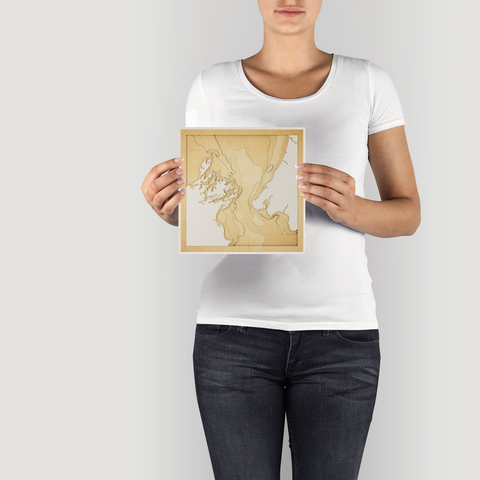
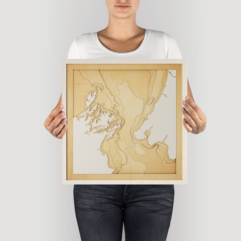
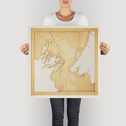
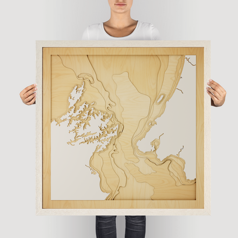


Cook Strait, NZ - 3D Wooden Map
Cook Strait, a narrow and turbulent waterway separating the North and South Islands of New Zealand, is known for its strong currents, dramatic weather, and striking coastal scenery. It's a passage steeped in maritime history and natural beauty.
The bathymetry of Cook Strait is complex and dynamic, shaped by tectonic activity and strong tidal flows. Deep canyons, rocky reefs, and underwater valleys create a diverse marine environment.
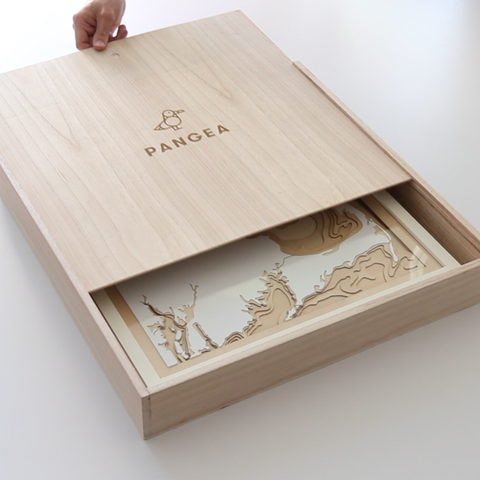
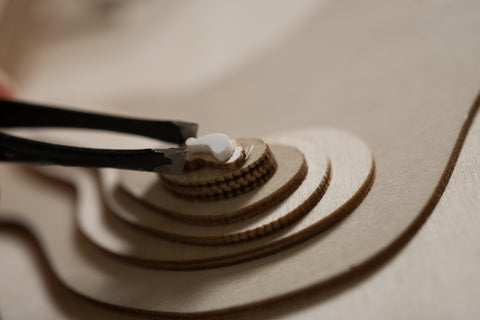
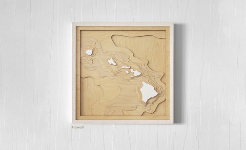
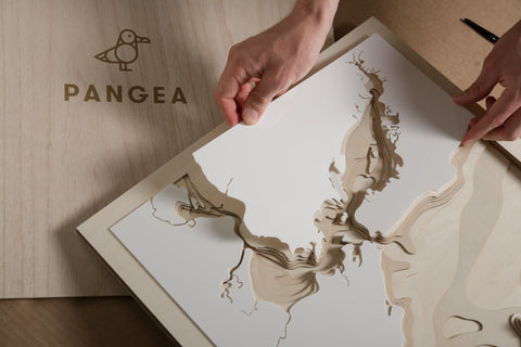
Our Cook Strait 3D wooden map captures this dramatic landscape with precision-cut layers of A/B grade birch timber. Each layer reveals the changing depths, creating a exquisite topographic representation of Cook Strait, making the invisible visible.
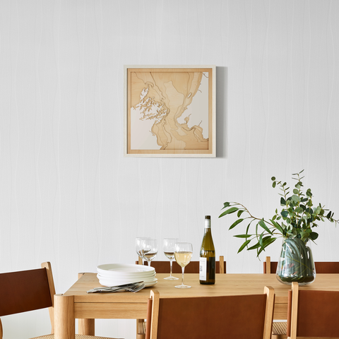
For the adventurer, the history buff, or anyone who appreciates the raw beauty of New Zealand, this map is a perfect reminder of Cook Strait's singular charm. Give the gift of the Strait, beautifully framed in four sizes.
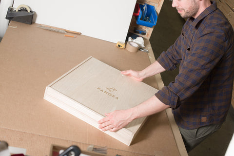
Quality and Craftsmanship
- Material: 1.5mm European White Birch, A/B grade birch
- Glazing: Plexiglass glazing
- Framing: Comes framed and ready to hang
- Origin: Locally designed and made
- Experience: One-on-one design experience to ensure perfection
The Perfect Gift
Celebrate memories and shared experiences with a Pangea map. These pieces make the greatest gifts, framing your cherished moments with elegance and style.