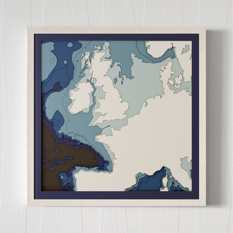
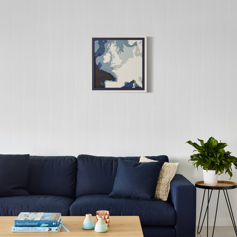
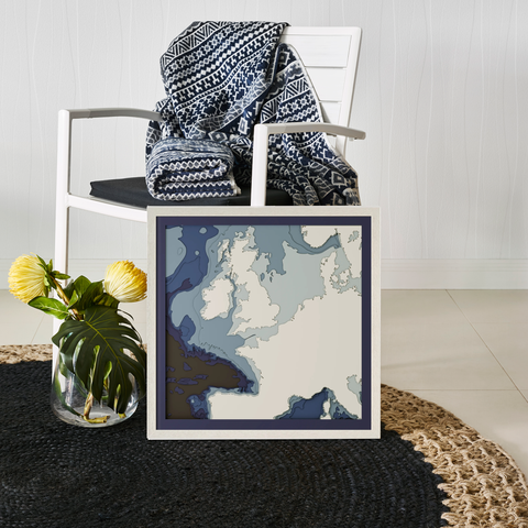
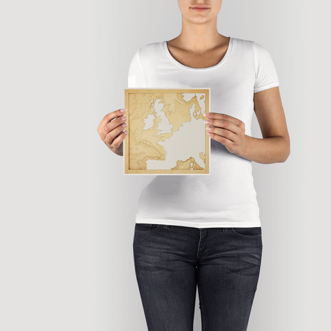
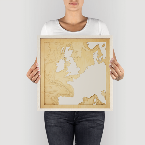
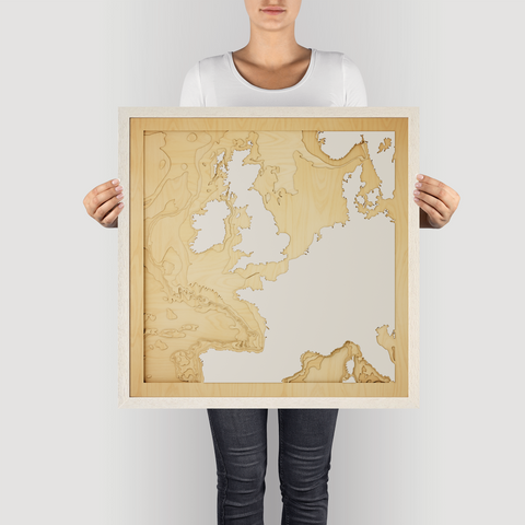
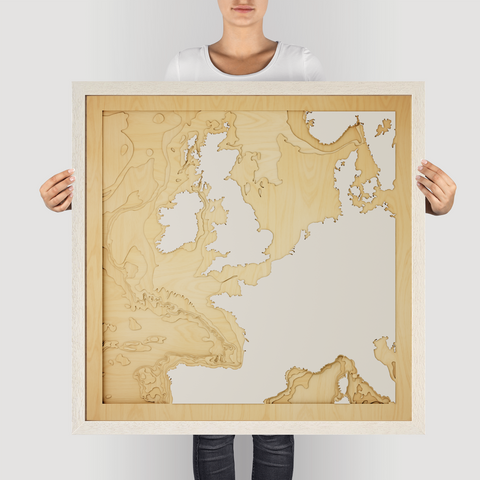


UK, France, Ireland - 3D Wooden Map
The waters separating the UK, France and Ireland are steeped in history, a crucial shipping lane and the site of countless naval battles. From the white cliffs of Dover to the rugged coast of Ireland, the region is a patchwork of cultures and landscapes.
The bathymetry of this area is complex, shaped by glacial activity and powerful currents. The English Channel is relatively shallow, while the waters around Ireland plunge to greater depths.
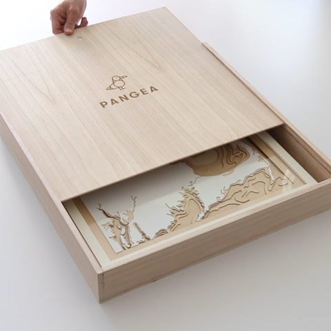
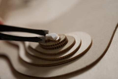
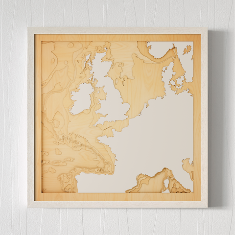
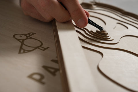
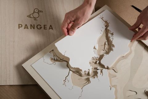
Our 3D wooden map captures the essence of this region. With 9 precision-cut layers of A/B grade birch, it reveals the hidden depths and intricate details of the underwater terrain.
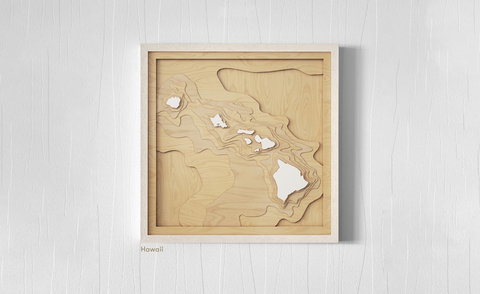
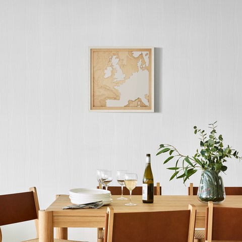
This map is a perfect gift for sailors, historians, or anyone who appreciates the rich history and natural beauty of this region. It's a reminder of the interconnectedness of Europe and the enduring power of the sea. It arrives in four sizes, framed and ready to inspire.
Quality and Craftsmanship
- Material: 1.5mm European White Birch, A/B grade birch
- Glazing: Plexiglass glazing
- Framing: Comes framed and ready to hang
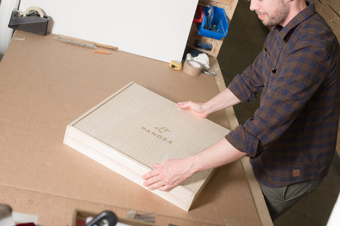
- Origin: Locally designed and made
- Experience: One-on-one design experience to ensure perfection
The Perfect Gift
Celebrate memories and shared experiences with a Pangea map. These pieces make the greatest gifts, framing your cherished moments with elegance and style.