Overview
The Puget Sound Depth Map stands as a crucial tool, illustrating the underwater topography that is essential for navigation, environmental monitoring, and resource management, with depths reaching an impressive 930 feet. A clear Puget Sound water depth map helps crews interpret steep drop-offs and channels before planning routes or field surveys. This map not only aids in identifying critical marine habitats but also supports vital conservation efforts and informs urban planning. Its role is indispensable in maintaining ecological health and safety in the region, underscoring the importance of such detailed mapping in our ongoing commitment to sustainable resource management.
Introduction
The Puget Sound Depth Map transcends mere lines and numbers; it stands as a crucial instrument that unveils the complex underwater terrain of one of Washington State's most vital estuarine systems. For boaters and researchers, a Puget Sound depth chart turns hidden seafloor changes into practical guidance for safe decisions. With depths plunging to 930 feet, this map provides essential insights into the region's ecological vitality and navigational safety, forming a foundation for environmental research and resource management. As human activities increasingly jeopardize this fragile marine ecosystem, one must consider: how can this depth map guide conservation initiatives and safeguard the diverse life reliant on these waters?
Defining the Puget Sound Depth Map
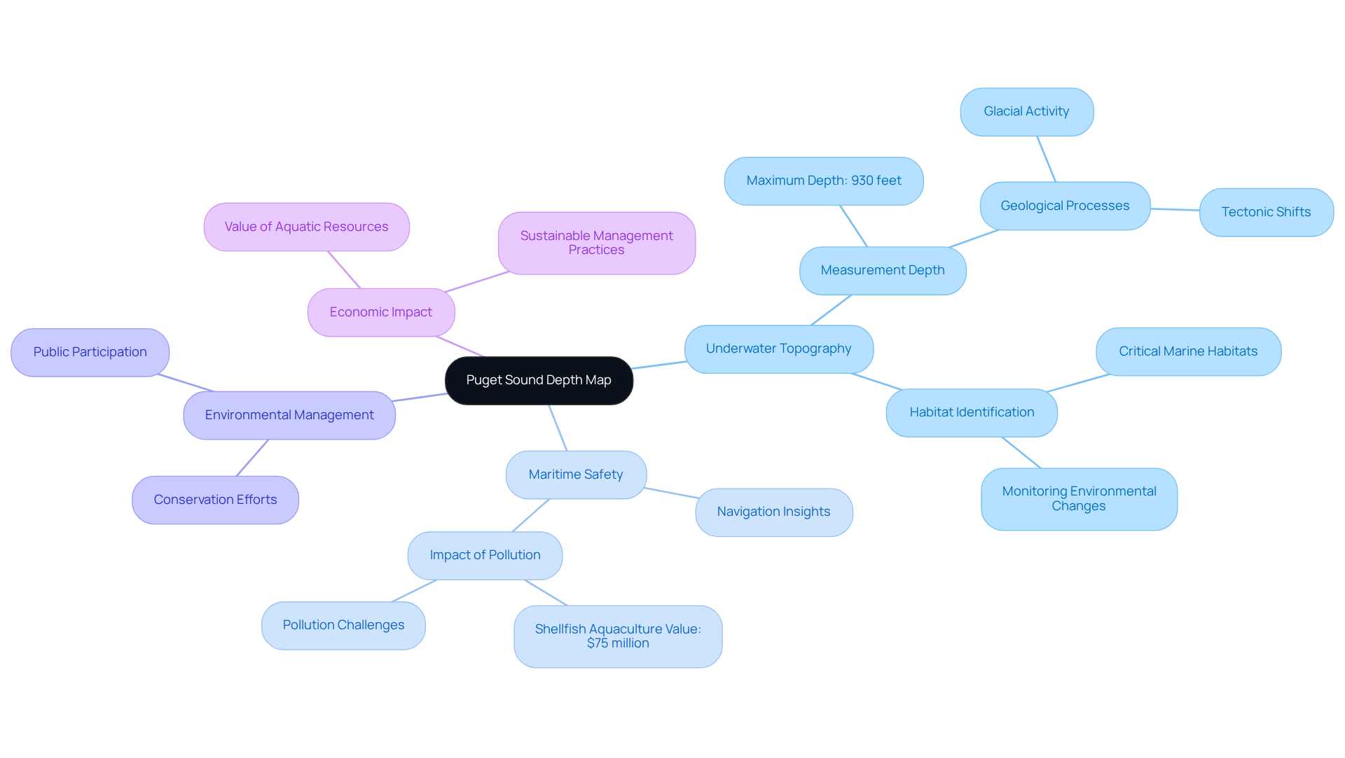
The Puget Sound Depth Map serves as an essential resource, illustrating the intricate underwater topography of this unique estuarine system in Washington State. A detailed topographic map of Puget Sound helps visualize basins, sills, and channels that shape circulation and habitat boundaries. With measurements reaching up to 930 feet, this map provides crucial insights into the diverse underwater characteristics that are vital for navigation, environmental observation, and resource management.
Understanding these depths is not merely academic; it has direct implications for maritime safety and the sustainable management of aquatic resources. Many operators rely on Puget Sound nautical charts to reduce grounding risk and choose safer routes through complex passages. Marine geographers assert that accurate underwater topography maps are indispensable for effective environmental assessments and conservation efforts. For example, they enable the identification of habitats critical for marine life and assist in monitoring changes caused by human activities or natural events.
The current underwater topography of the region reflects a complex interplay of geological processes, including glacial activity and tectonic shifts, which have sculpted its landscape over thousands of years. A well-referenced Puget Sound marine map supports this history by showing how deep basins align with geologic structure. Additionally, the region grapples with significant pollution challenges that affect shellfish aquaculture valued at approximately $75,000,000, underscoring the economic importance of maintaining ecological health.
Dr. Sylvia Earle's poignant statement, 'No water, no life. No blue, no green,' highlights the essential role of water bodies like this region in sustaining life. Using Puget Sound marine charts alongside monitoring data helps policymakers link ecological risk to specific locations and depth zones. The Puget Sound Depth Map not only enhances navigation but also plays a crucial role in managing the ecological health of the area, establishing it as an invaluable asset for both researchers and policymakers.

Geographical and Historical Context of Puget Sound
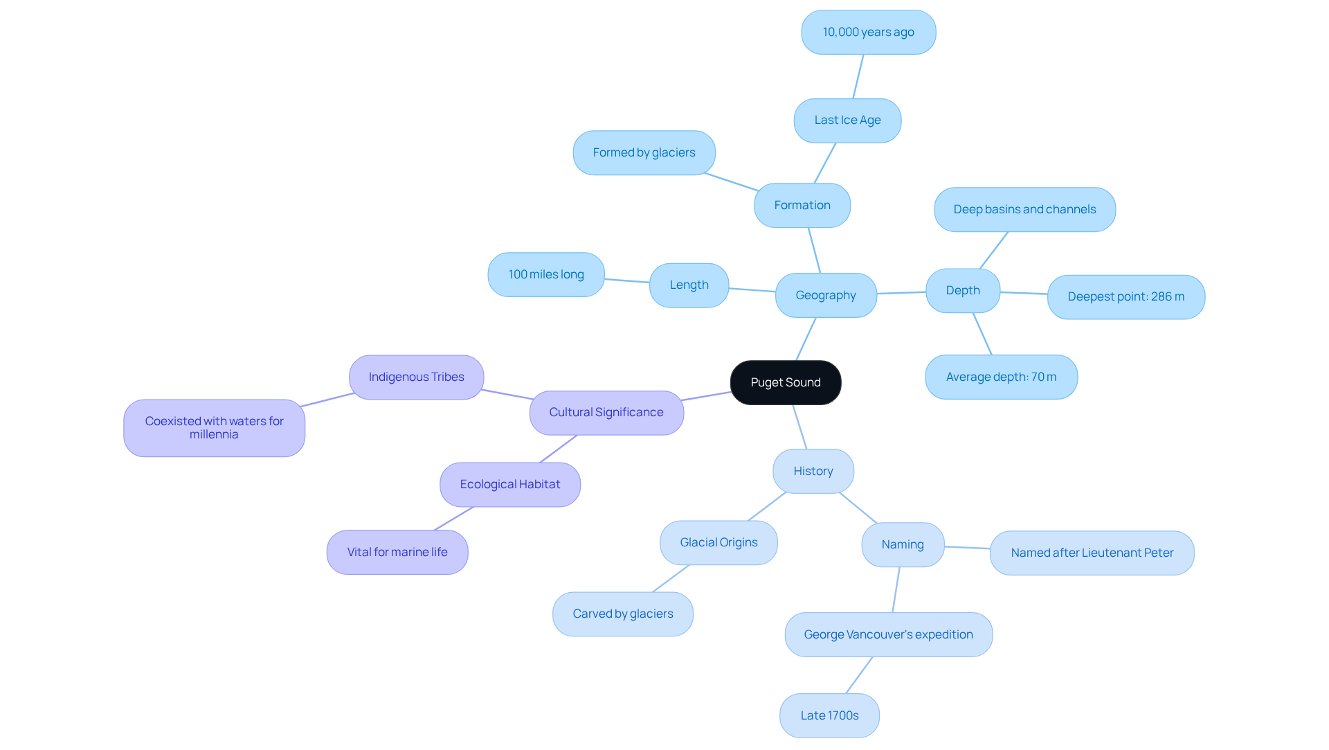
The estuary represents a remarkable inland body of water, extending approximately 100 miles from Deception Pass in the north to Olympia in the south. A regional map of Puget Sound helps contextualize these distances and connects shoreline communities to the same shared marine system. Its formation can be traced back to the last Ice Age, around 10,000 years ago, when glaciers sculpted the deep basins and channels that define the region today. This body of water serves not only as a vital ecological habitat but also as a significant cultural and economic resource for the surrounding communities, including numerous Indigenous tribes that have coexisted with its waters for millennia. The historical importance of this waterway is underscored by its name, which honors Lieutenant Peter, an officer of Captain George Vancouver's expedition in the late 1700s.

Key Features of the Puget Sound Depth Map
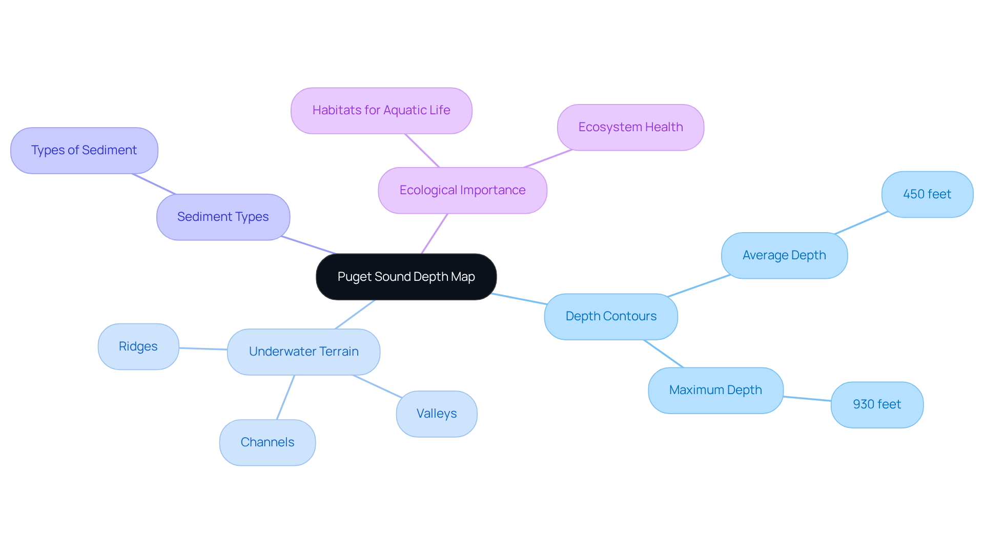
The Puget Sound Depth Map serves as a critical resource that highlights several key characteristics essential for understanding the aquatic environment. Depth contours delineate the varying depths of the water body, with an average depth of approximately 450 feet and a maximum depth of 930 feet. A well-labeled depth chart of Puget Sound makes it easier to compare shallow shelves to deep basins across different inlets. This information is crucial for navigation and aquatic activities.
The bathymetric data reveals the underwater terrain, highlighting significant features such as ridges, valleys, and channels, which are vital for safe navigation at sea. Boaters often cross-check a Puget Sound nautical map to anticipate submerged ridges that can affect currents and wave behavior. Furthermore, the map details sediment types and habitats, indispensable for ecological studies and conservation efforts. Ocean biologists underscore the importance of these underwater structures, asserting that they provide habitats for diverse aquatic life and contribute to the overall health of the ecosystem.
As Rachel Carson poignantly stated, "It is a curious situation that the sea, from which life first arose, should now be threatened by the activities of one form of that life." A shared Puget Sound water depth chart can help communicate where human pressures intersect with sensitive depth-based habitats.
This comprehensive integration of data, featuring a spatial resolution of 1 meter and sourced from 186 different data points, enhances navigation safety and supports sustainable aquatic practices and conservation initiatives, as illustrated by the Puget Sound depth map. For planning and route safety, Puget Sound nautical chart references complement scientific layers by keeping navigation details consistent. Thus, the Puget Sound depth map serves as an invaluable resource for both researchers and operators.

Importance and Applications of the Puget Sound Depth Map
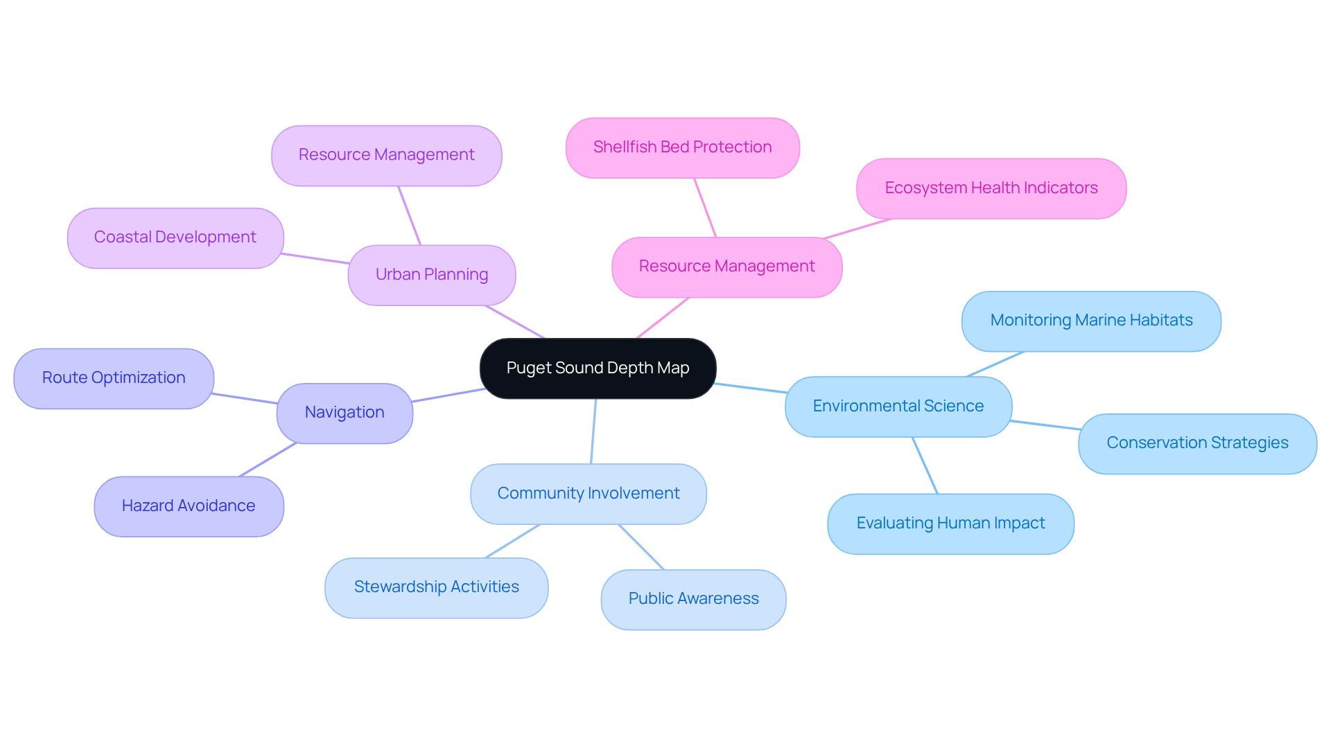
The Puget Sound depth map plays a crucial role in environmental science and ocean biology. Using a Puget Sound marine map helps researchers connect depth zones to habitat patterns and ecosystem change over time. It provides vital data for studying aquatic ecosystems, enabling researchers to effectively monitor changes in marine habitats. Environmental scientists leverage this map to evaluate the impact of human activities on the area's wellbeing, facilitating the development of targeted conservation strategies. Notably, over one-third of the local population engages in stewardship activities that benefit the environment at least once a week, highlighting the significant role of community involvement in conservation efforts.
Furthermore, the depth map is indispensable for navigational purposes, aiding boaters and fishermen in avoiding hazards and optimizing their routes. A reliable Puget Sound nautical chart supports safer passage by clearly showing depth contours, channels, and shallow-risk areas. It significantly influences urban planning and resource management, guiding decisions related to coastal development and environmental protection. As human actions continue to exert pressure on the regional ecosystem, understanding these dynamics becomes imperative. Statistics reveal that while some salmon populations, such as Hood Canal summer chum, are on the rise, the Puget Sound Chinook remains threatened, showing no signs of recovery. This situation underscores the necessity of utilizing the Puget Sound depth map as a crucial tool for understanding and preserving this unique marine environment.

Conclusion
The Puget Sound Depth Map emerges as an essential tool for comprehending the intricacies of this unique marine environment. A detailed depth map of Puget Sound clarifies where steep underwater features may affect currents, habitat ranges, and navigational decisions. By illustrating the underwater topography and depth variations, it enhances navigation and serves as a cornerstone for ecological conservation and resource management. The map’s significance extends beyond mere academic interest; it plays a crucial role in safeguarding the health of the ecosystem and the livelihoods dependent on it.
Key insights throughout the article highlight the map's multifaceted applications, from informing safe navigation practices to supporting environmental assessments and conservation strategies. Referencing Puget Sound marine charts can also help stakeholders interpret scientific findings alongside practical, location-based depth information. The depth map reveals the intricate geological history of the region and underscores the importance of community involvement in stewardship efforts. It also illuminates the challenges faced by local marine life, emphasizing the urgency of utilizing this resource to monitor and mitigate human impacts.
In reflection, the Puget Sound Depth Map stands as a testament to the interconnectedness of navigation, ecology, and community well-being. A dependable nautical charts Puget Sound encourages consistent decision-making for safety, planning, and conservation. As stakeholders engage with this critical resource, it becomes imperative to recognize its role in fostering sustainable practices and ensuring the preservation of this remarkable marine ecosystem. Embracing the insights provided by the depth map can pave the way for informed decision-making and a collective commitment to protecting the rich biodiversity of Puget Sound for generations to come.
Frequently Asked Questions
What is the Puget Sound Depth Map?
The Puget Sound Depth Map is a resource that illustrates the underwater topography of the Puget Sound estuarine system in Washington State, with measurements reaching up to 930 feet. A clear Puget Sound water depth chart helps readers visualize how depth varies across basins, channels, and nearshore zones.
Why is the Puget Sound Depth Map important?
The map is important for navigation, environmental observation, and resource management, as it provides insights into underwater characteristics essential for maritime safety and sustainable management of aquatic resources. Many users consult puget sound nautical charts to plan safer routes and reduce risks from shallow areas and submerged hazards.
How does the Puget Sound Depth Map contribute to environmental assessments?
It helps identify critical habitats for marine life and assists in monitoring environmental changes caused by human activities or natural events, making it indispensable for conservation efforts. A detailed Puget Sound marine area map can help connect habitat locations to depth-driven conditions and human pressure zones.
What geological processes have shaped the underwater topography of Puget Sound?
The underwater landscape has been sculpted by geological processes such as glacial activity and tectonic shifts over thousands of years. These processes are often easier to interpret with a Puget Sound topographic map showing basins, ridges, and channel structure.
What economic importance does the Puget Sound region have?
The region faces significant pollution challenges that impact shellfish aquaculture, which is valued at approximately $75,000,000, highlighting the need for ecological health maintenance. This is why a puget sound marine map is frequently used when discussing where economic activity meets sensitive marine conditions.
Who emphasized the importance of water bodies like Puget Sound?
Dr. Sylvia Earle emphasized this importance with her statement, 'No water, no life. No blue, no green,' highlighting the role of water bodies in sustaining life. That message aligns with why maps of the Puget Sound resources are used to educate the public about place-based stewardship.
In what ways does the Puget Sound Depth Map assist researchers and policymakers?
The map enhances navigation and plays a crucial role in managing the ecological health of the area, making it an invaluable asset for both researchers and policymakers. Using a puget sound water depth map supports clearer planning by linking decisions to measurable depth zones and habitat regions.


