Overview
This article delves into the intriguing contrasts and parallels between modern and historical maps in Europe, spotlighting their technological advancements and cultural significance. Contemporary maps, leveraging cutting-edge technologies like GIS, provide real-time updates that enhance navigation. In contrast, historical maps embody the artistic and scientific understanding of their respective eras, underscoring the timeless role of maps in navigation and cultural representation. Such craftsmanship in map-making not only reflects the knowledge of the past but also invites us to appreciate how these tools have shaped our understanding of the world.
Introduction
Maps transcend their role as mere navigational tools; they serve as intricate reflections of culture, history, and technological advancement. The evolution of cartography starkly contrasts modern and historical maps, revealing not just shifts in geographical representation but also transformations in societal values and storytelling methods. When the artistry of the past converges with the precision of today's digital innovations, what unfolds? This exploration delves into the dynamic landscape of European maps, uncovering the profound significance of their design and the emotional connections they foster within both personal and cultural contexts.
Understanding Maps: Definitions and Functions
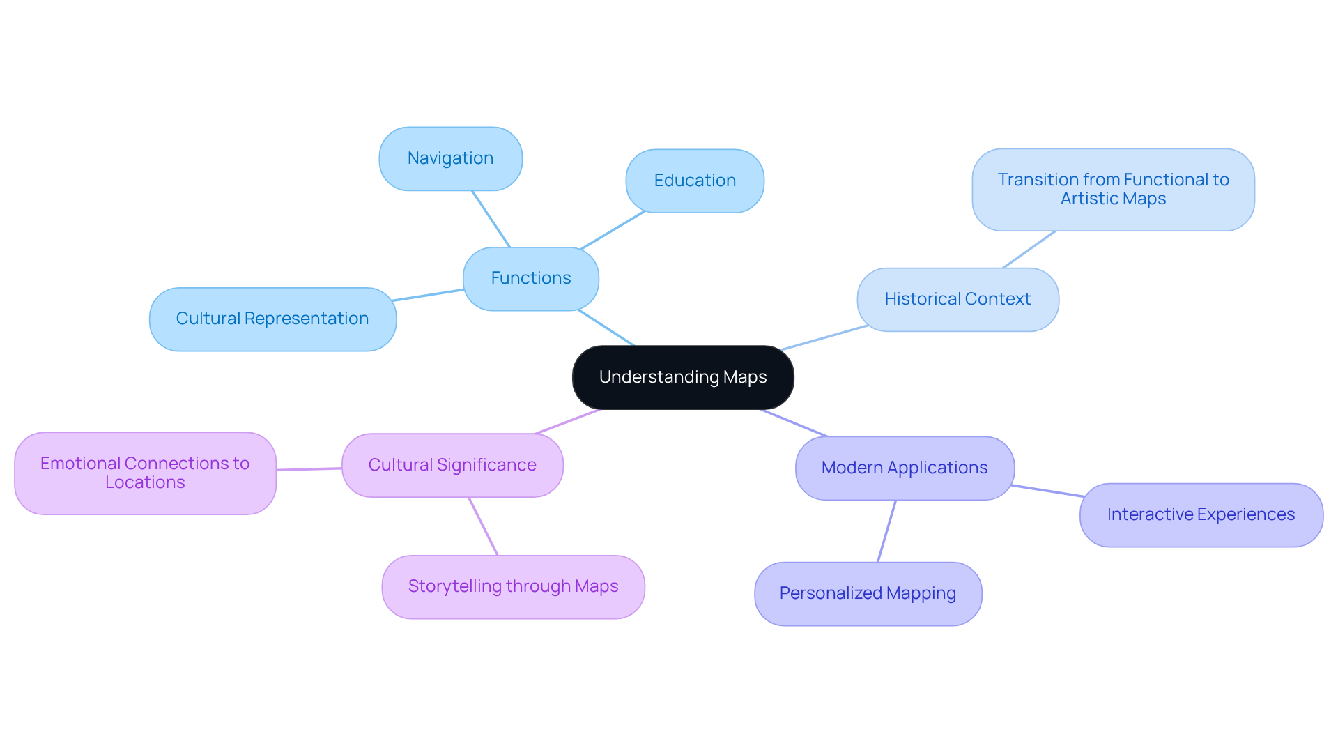
Cartographic materials are powerful symbolic depictions of geographical regions, meticulously designed to convey spatial relationships and features. They serve a multitude of functions, including navigation, education, and cultural representation. In contemporary contexts, modern charts utilize digital technology to create interactive experiences; notably, 73% of websites and businesses in the United States employ the Google Maps API for enhanced functionality.
Historical charts, created 'to scale,' reflect the artistic and scientific understanding of their respective eras, showcasing a minimized version of reality. This evolution emphasizes how charts have shifted from functional instruments to decorative art objects that evoke personal memories and narratives.
For instance, Pangea Maps focuses on crafting handcrafted 3D representations that capture important locations and treasured experiences, providing over 1,000 pre-designed layouts for customization, transforming geographical data into personalized artworks. This change highlights the significance of geographic representations in education and culture, as they not only enhance learning but also nurture emotional ties to locations and histories.
Currently, charts are employed in cultural depiction, with thematic illustrations showcasing specific themes or subjects, reflecting varied narratives and identities, and acting as a medium for storytelling that resonates profoundly with individuals and communities alike.
As we investigate the present terrain of cartography, it is crucial to acknowledge the significant influence visuals have on our comprehension of the world and our position within it.

Current vs. Historical Maps: Technological Advancements and Representation
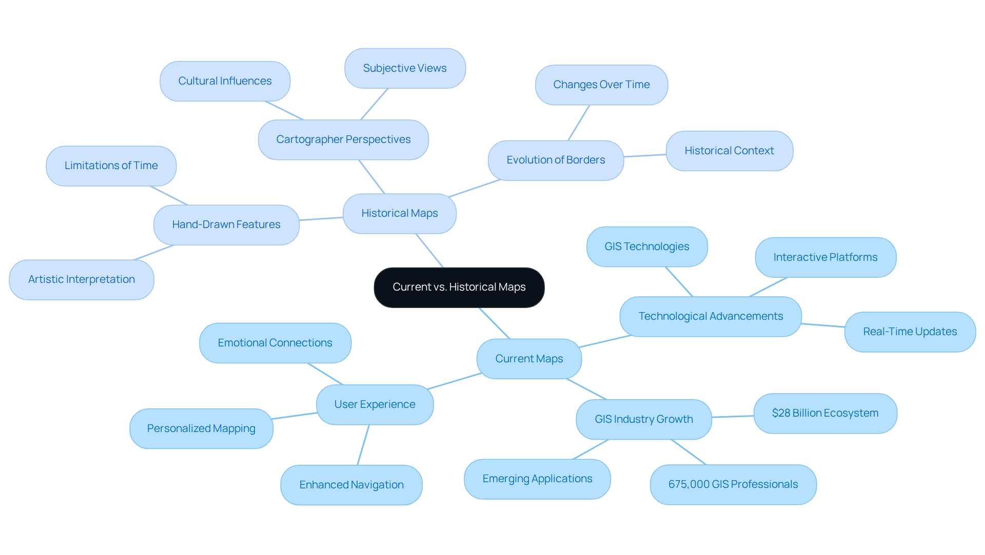
Contemporary charts leverage advanced technologies such as Geographic Information Systems (GIS), satellite imagery, and interactive digital platforms, facilitating real-time updates and intricate representations of geographical features. The GIS industry has burgeoned into a $28 billion ecosystem of applications, with over 675,000 GIS professionals estimated in 2020, underscoring the importance of these technologies in relation to the current map of Europe.
In stark contrast, historical charts were often hand-drawn, reflecting the cartographer's perspective and the limitations of their time. For example, a historical map may illustrate borders that have since evolved, whereas the current map of Europe accurately depicts today's political landscape.
As Jack Dangermond, co-founder of Esri, remarked, "We started really with the idea of abstracting geographic information as layers, putting it into the computer." This evolution not only enhances usability but also enriches the storytelling aspect of cartography, making these maps ideal for personalized gifts that encapsulate significant locations.
Pangea Maps exemplifies this trend by offering handcrafted 3D representations that capture cherished memories and locations, merging artistry with contemporary cartographic techniques and providing an emotional connection that resonates deeply with recipients.

Enduring Similarities: Navigation and Cultural Significance
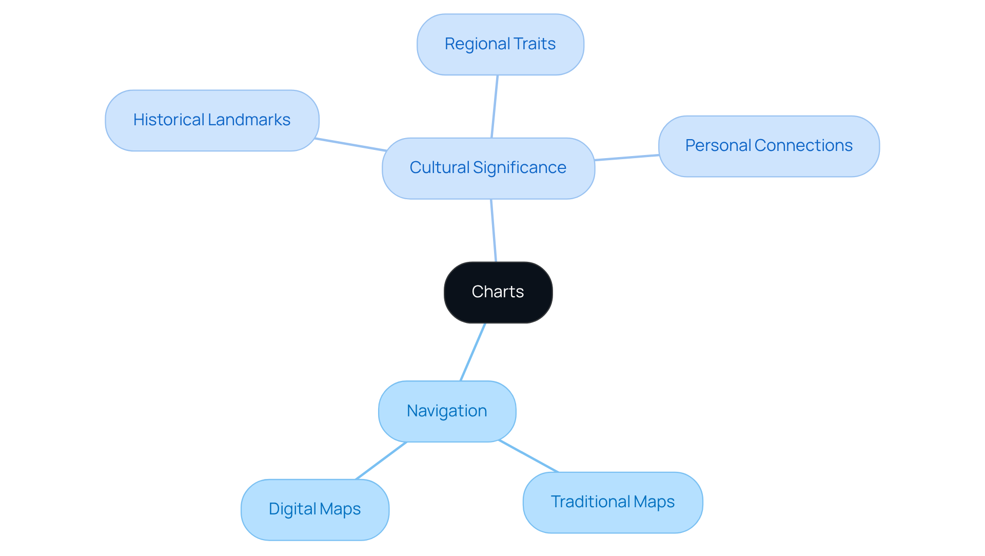
Despite the differences in technology and representation, both contemporary and historical charts serve essential functions: aiding navigation and reflecting cultural identities. Navigation remains a primary purpose, whether through a traditional paper map or a GPS-enabled digital map. Furthermore, charts frequently embody cultural significance, highlighting historical landmarks, regional traits, and individual narratives. For instance, a historical map may illuminate ancient trade routes, while a modern map can depict contemporary urban development. This cultural resonance makes these representations a popular choice for gifts, as they evoke nostalgia and forge personal connections.
Pangea exemplifies this mission with its selection of over 1,000 pre-designed visuals and a same-day design service. Their handcrafted maps celebrate significant locations and memories, designed to capture your unique story. Customer testimonials highlight the joy and emotional impact of receiving a customized map, reinforcing the significance of maps in comprehending our world. Experience the craftsmanship and personalization that Pangea offers—reach out today to inquire about creating a meaningful map that resonates with your journey.

Implications for Gifting and Decor: Choosing the Right Map for Your Needs
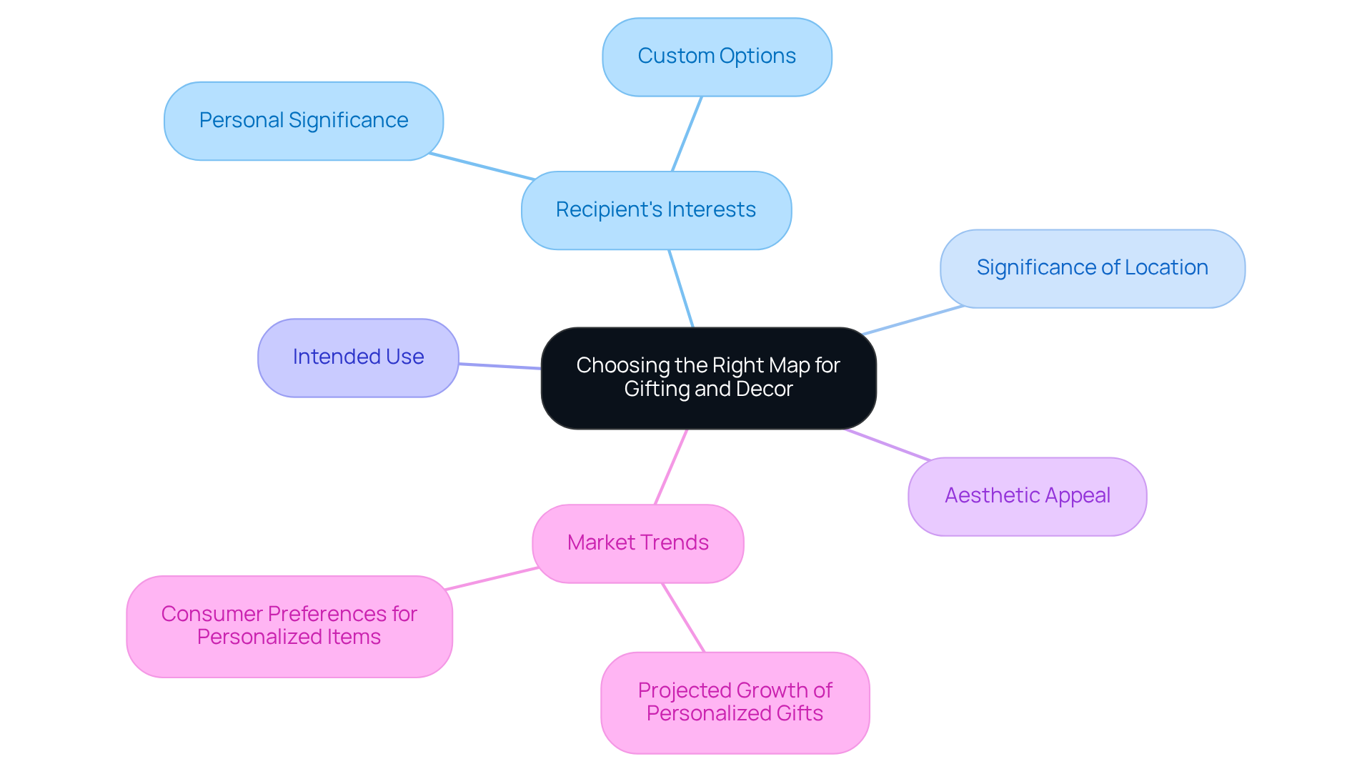
When selecting a map for gifting or decor, it is essential to consider the recipient's interests, the significance of the location, and the intended use of the map. A custom map from Pangea Maps encapsulates meaningful locations, such as where a couple first met or a cherished family vacation spot. This customization resonates deeply; studies show that 80% of consumers find tailored gifts more thoughtful than generic options, and 80% are more likely to make repeat purchases when their experience was customized.
The aesthetic allure of the chart also plays a vital role. Modern displays often showcase sleek designs that enhance contemporary decor, while historical representations can add a vintage charm to a space. The right map serves not only as a decorative piece but also as a conversation starter, evoking memories and stories that resonate with the recipient.
As the personalized gifts market continues to grow, projected to reach $31.63 billion by 2025, the demand for unique, custom maps is likely to rise. This reflects a broader trend towards meaningful gifting that strengthens relationships and celebrates personal significance. Laura Wood emphasizes that "customized gifts show effort and convey, 'I know you and care about what makes you unique.

Conclusion
The exploration of contemporary and historical maps reveals the profound evolution of cartography, showcasing how these representations have transitioned from practical tools to powerful cultural artifacts. This transformation is not merely an academic observation; it underscores the current landscape of mapping, which enhances navigation and serves as a canvas for personal stories and emotional connections. Understanding our geography in a deeper, more meaningful way is essential.
Key insights from the article highlight the technological advancements that have revolutionized map-making, such as GIS and satellite imagery. These innovations allow for intricate and real-time representations of our world, elevating the craft of cartography. In contrast, historical maps provide a glimpse into the past, reflecting the perspectives and limitations of their time. This juxtaposition underscores the enduring functions of maps—navigational aids and cultural reflections—illustrating how both modern and historical charts resonate with individuals and communities alike.
Ultimately, the significance of maps extends beyond mere representation; they encapsulate personal narratives and foster connections to places that hold meaning in our lives. As the market for personalized gifts grows, the demand for custom maps reflects a broader desire for thoughtful, unique expressions of identity and experience. Embracing the art of cartography as a means of storytelling can transform how individuals relate to their surroundings. Maps become not just tools for navigation, but cherished symbols of personal history and heritage.
In conclusion, the craftsmanship and customization options available in map-making are not just about aesthetics; they are designed to capture your unique story. We invite you to explore our offerings and consider how a custom map can enrich your life or serve as a meaningful gift. Inquire today to discover the perfect map that resonates with your journey.
Frequently Asked Questions
What are cartographic materials?
Cartographic materials are symbolic depictions of geographical regions designed to convey spatial relationships and features.
What functions do maps serve?
Maps serve various functions, including navigation, education, and cultural representation.
How has technology influenced modern maps?
Modern maps utilize digital technology to create interactive experiences, with 73% of websites and businesses in the United States using the Google Maps API for enhanced functionality.
How have historical charts evolved over time?
Historical charts were created 'to scale' and reflect the artistic and scientific understanding of their eras, transitioning from functional instruments to decorative art objects that evoke personal memories and narratives.
What is the focus of Pangea Maps?
Pangea Maps specializes in crafting handcrafted 3D representations of important locations and experiences, offering over 1,000 pre-designed layouts for customization to transform geographical data into personalized artworks.
How do maps contribute to education and culture?
Maps enhance learning and nurture emotional ties to locations and histories, highlighting their significance in education and cultural representation.
What role do thematic illustrations play in cartography?
Thematic illustrations showcase specific themes or subjects, reflecting varied narratives and identities, and act as a medium for storytelling that resonates with individuals and communities.
Why is it important to understand the influence of visuals in cartography?
Understanding the influence of visuals in cartography is crucial as they significantly impact our comprehension of the world and our position within it.


